Aerial
Budots Media flies. Licensed drone operations, aerial surveys, laser scanning and photogrammetry — delivered under the Aerial Data Ops brand from Cebu to Riyadh.
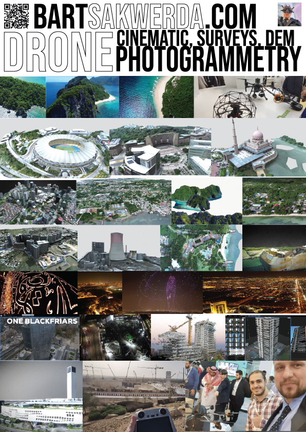
The portfolio spans a coal-fired power plant survey, the Diriyah construction site in Riyadh, SM Seaside in Cebu, a drone show in Dubai, Sentosa in Singapore, Malaysia's National Stadium, Palawan's islands and the Putra Mosque in Kuala Lumpur — captured as 3D scans, gaussian splats and photogrammetry models, not just pretty footage.
The same aircraft shoot our stories. The drone photographs in our Paddle Forward expedition coverage — an outrigger canoe threading Cebu's coastline, shot from above at dawn — were all Budots Media captures.

Survey work feeds the map work: orthomosaics and elevation models become the base layers of our Philippine cartography, and scan data becomes assets in our games production.
One recent cut from our portfolio reel shows the format at work — Cebu's highland spine from above, ending on a campaign call to action.
Aerial destination cut with CTA · hosted on budotsmediaph.co
← All stories